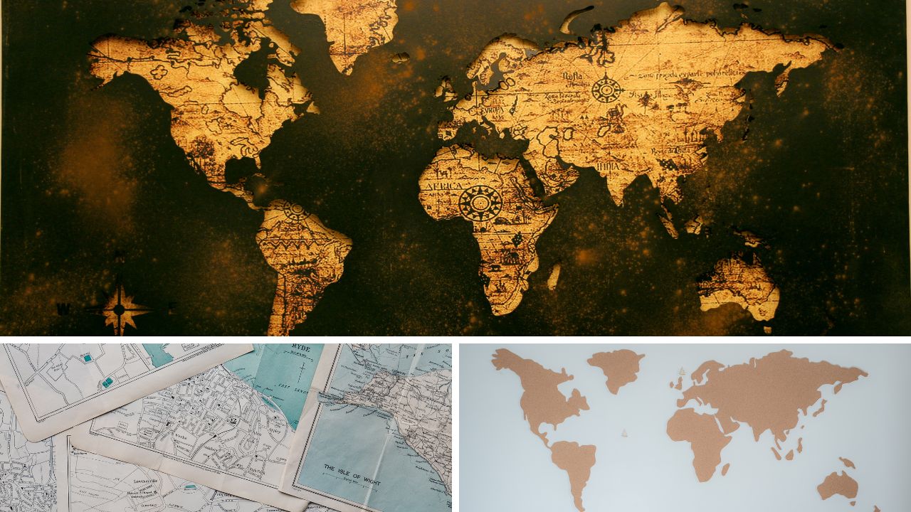
Introduction: Essential Features of a Map
Maps are useful tools that help us understand the world around us. They show the location of places, landforms, roads, rivers, and many other things. But to read a map properly, we need to know its important features. These features include the title, scale, direction, symbols, colour, and the legend. Each part plays a special role in helping us understand what the map is showing. Learning about these features makes reading and using maps much easier and more fun!
A: Choose the Correct Option
- The North Line in a map shows → (c) the north direction
- The RF (Representative Fraction) for a scale of 2 cm = 100 km is → (b) 1:5,000,000
- Trees are shown on the map by → (b) a green dot
- Lines of latitude are → (d) all of these
B: Fill in the Blanks
- The ratio between the map distance and ground distance is called scale.
- RF stands for Representative Fraction.
- North, South, East, and West are called cardinal directions.
- The straight distance is also called air distance.
- A network of latitudes and longitudes is called a grid.
C: State Whether These Statements Are Right or Wrong
- Intermediate directions are midway between cardinal directions. ✅ (Correct)
- Linear scale shows primary divisions only. ❌ (Wrong) → Linear scale shows both primary and secondary divisions.
- There are two ways of finding straight distance on a map. ✅ (Correct)
- Meridians of longitude run parallel to each other. ❌ (Wrong) → Meridians of longitude converge at the poles and are not parallel.
Answer these questions in 10–20 words
- What are the essential features of maps?
Maps include a title, scale, directions, symbols, and a legend to explain symbols. - What would a map titled “India: Political” show?
It shows state and country boundaries, capitals, and important cities of India. - Name the cardinal and the intermediate directions.
Cardinal: North, South, East, West.
Intermediate: North-East, North-West, South-East, South-West. - What do you mean by the scale of a map?
It shows the ratio between distance on the map and actual ground distance. - What are conventional symbols?
They are standard signs used on maps to show features like roads, rivers, and buildings. - What scale of map—small or large—would you use to show the following places?
(a) India: Small scale
(b) Your hometown: Large scale
(c) Your neighbourhood: Large scale
(d) Your friend’s neighbourhood: Large scale
(e) The world: Small scale
Look at the essay on Storybook Characters I would like to meet
Also, look for the Study Guide of Ozymandias
Answer these questions in 50–60 words
- Distinguish between small-scale maps and large-scale maps.
Small-scale maps show large areas like countries with fewer details. Large-scale maps show small areas like towns or cities with more details. For example, a world map is small-scale, while a city map is large-scale. Large-scale maps are useful for planning, while small-scale maps give a bigger view. - How are conventional symbols useful?
Conventional symbols make reading maps easier. They save space and are understood internationally. For example, a triangle may show a mountain, or a line may show a road. These symbols help people understand physical and man-made features without using too many words. - How are parallels of latitude different from meridians of longitude?
Parallels of latitude run east-west and are parallel to each other. Meridians of longitude run north-south and meet at the poles. Latitudes show how far north or south a place is, while longitudes help measure east-west distances.
F. Answer these questions in 75–100 words
- Explain the different types of scales that are commonly used in maps.
There are three common types of map scales:
- Verbal Scale: Uses words, like “1 cm = 1 km.”
- Linear Scale: A straight line marked in units to measure distances.
- Representative Fraction (RF): A ratio like 1:100,000 means 1 unit on the map equals 100,000 units in real life.
Each type helps measure distance and is used according to the map’s purpose and detail needed.
- How is the distance between two places measured from a map?
To measure distance on a map, use a ruler or string to measure between the two places. Then use the map’s scale to convert that measurement into real-world distance. For example, if 1 cm on the map equals 5 km in real life, then 3 cm would equal 15 km. This helps us understand actual distances.
G. Give reasons for the following
- Every map should have a title.
A title tells what the map is about, like political, physical, or climate map, making it easier to understand. - Places are reduced from their actual size when they are shown on a map.
Maps are smaller than the real world, so places must be shown in reduced sizes using a scale. - Every map has a legend.
A legend explains the meaning of all the symbols and colours used on the map, helping us read it easily. - We can locate any place on a map with the help of latitudes and longitudes.
Latitudes and longitudes form a grid that helps find the exact position of any place on Earth.