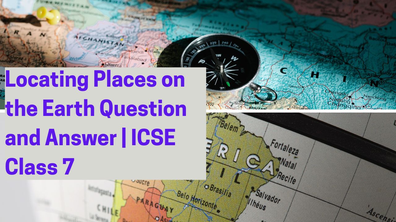
The chapter Locating Places on the Earth ICSE Class 7 helps students understand how to identify specific places using geographical tools. This includes learning about latitudes, longitudes, equator, prime meridian, and the grid system. These concepts are essential in developing map reading and navigational skills, which are key components of Class 7 Geography.
A. Tick the correct answers:
- The distance between any two latitudes on the Earth’s surface located at an interval of 1 degree is about 111 km or 69 miles.
- The total number of meridians at an interval of 5 degrees is 71 or 72.
- The Standard Meridian of India has been chosen as 82½ degrees East.
- Bangladesh or Canada has more than one Standard Time.
- The International Date Line follows the 180° meridian.
B. Fill in the blanks:
- The two ends of the Earth’s axis are called the poles.
- The network of parallels and meridians is called the graticule.
- The maximum distance between any two meridians is at the equator.
- There are 11 time zones in Russia.
- The time difference between the Prime Meridian and the 180° west meridian is 12 hours.
Look at the essay on Air Pollution
Also, look for the Study Guide of Essential Features of Map
C. Give reasons for the following:
- For every degree of longitude, the time difference is 4 minutes because the Earth rotates 360° in 24 hours, meaning each degree takes 4 minutes.
- The time difference at the 180° meridian is 24 hours because it marks the International Date Line, where the calendar day changes.
- (Your question is incomplete, please provide details.)
- (Your question is incomplete, please provide details.)
- (Your question is incomplete, please provide details.)
D. Answer the following questions:
- Define latitude and longitude. Mention three characteristics of latitudes.
Ans:- Latitude is the angular distance of a place north or south of the equator, measured in degrees.
- Longitude is the angular distance of a place east or west of the Prime Meridian, measured in degrees.
- Characteristics of latitudes:
- Latitudes are parallel to each other.
- The equator is the longest latitude at 0°.
- Latitudes decrease in length as they move towards the poles.
- With the help of an example, explain the relation between longitude and time.
Ans:
The Earth rotates 360° in 24 hours, so each 15° of longitude represents a one-hour time difference.
For example, if it is 12:00 PM at 0° longitude (Prime Meridian), it will be 3:00 PM at 45° East and 9:00 AM at 45° West. - Distinguish between local time and Standard Time.
Ans:- Local Time is the time based on the position of the sun at a particular place.
- Standard Time is the uniform time adopted by a country or region based on a specific meridian to avoid confusion.
- What is the purpose of having time zones? Name four countries that have more than one time zone.
Ans:
The purpose of time zones is to standardize time across different regions, as the Earth rotates continuously.
Countries with multiple time zones:- Russia (11 time zones)
- USA (6 time zones)
- Canada (6 time zones)
- Australia (3 time zones)
- The International Date Line does not exactly follow the 180-degree meridian. Why?
Ans:
The International Date Line deviates from the 180° meridian to avoid splitting countries and islands into different calendar dates. It zigzags to keep nations in the same time zone.