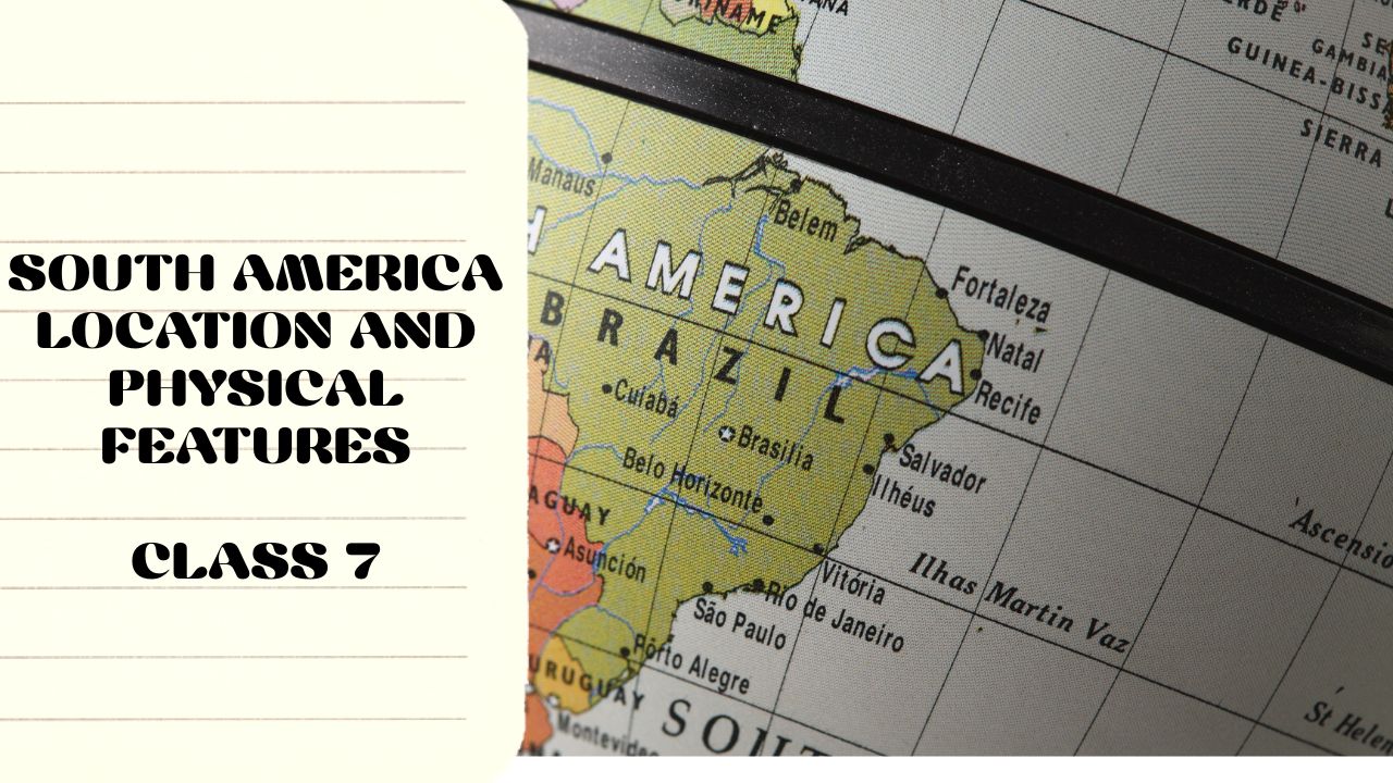
SouthAmerica-Location and Physical Features Question and Answer | ICSE Class 7
This page presents key South America Location and Physical Features ICSE Class 7 Questions and answers to help students understand the continent’s geography. The chapter covers South America’s exact location, major mountains, rivers, plateaus, plains, and surrounding water bodies. These solved Q&As make it easier for ICSE Class 7 students to revise and prepare effectively for exams.
A. Tick the correct answers:
- Which of the following water bodies does not surround South America?
Atlantic Ocean, Pacific Ocean, Caribbean Sea, Mediterranean Sea
Ans: Mediterranean Sea - The capital of Argentina is:
Buenos Aires, La Paz, Bogotá, Montevideo
Ans: Buenos Aires - The highest peak of the Andes Cordillera is:
Mount Cotopaxi, Mount Tupungato, Mount Aconcagua, Mount Chimborazo
Ans: Mount Aconcagua - The La Plata river basin is also known as the:
Llanos, Selvas, Gran Chaco, Pampas
Ans: Pampas - The Amazon River rises in the mountains of which of the following countries?
Brazil, Peru, Argentina, Bolivia
Ans: Peru
B. Fill in the blanks:
- The mainland of South America is separated from Tierra del Fuego Island by the Strait of Magellan.
- Brazil was colonized by the Portuguese.
- The Angel Falls is located in the Guiana Highlands.
- The Western Coastal strip of South America lies between the Andes Cordillera and the Pacific Ocean.
- The Amazon River drains into the Atlantic Ocean.
C. Give reasons for the following:
- The South American colonies rebelled against the Spanish and Portuguese rulers.
Ans: The South American colonies rebelled due to:- Exploitation of natural resources by Spain and Portugal.
- Oppression of native populations and forced labor.
- The influence of the American and French Revolutions, which encouraged independence.
- High taxes and trade restrictions, which hurt local economies.
- Nationalist movements led by leaders like Simón Bolívar and José de San Martín.
- Exploitation of natural resources by Spain and Portugal.
- The Amazon River is an important waterway.
Ans: The Amazon River is important because:- It is the second-longest river in the world and the largest by volume.
- It provides water for agriculture, fishing, and hydroelectric power.
- It serves as a major transport route for remote areas.
- It supports a diverse ecosystem, including the Amazon Rainforest.
- It is the second-longest river in the world and the largest by volume.
Look at the essay on Storybook My Dream Business Essay- 5 Checklist and 4 things determine the type of Business
Also, look for the Study Guide of Major Landforms and Waterbodies of the Earth
D. Answer the following questions:
- What is the latitudinal and longitudinal extent of South America? Which important latitude passes through the northern part of this continent?
Ans:- The latitudinal extent of South America is 12°N to 55°S.
- The longitudinal extent is 35°W to 81°W.
- The important latitude passing through the northern part is the Equator (0°).
- The latitudinal extent of South America is 12°N to 55°S.
- Which countries form Latin America?
Ans: Latin America includes countries in South America, Central America, and the Caribbean where Spanish and Portuguese are spoken. Some South American countries in Latin America are:- Brazil, Argentina, Chile, Peru, Colombia, Venezuela, Ecuador, Paraguay, Uruguay, and Bolivia.
- Brazil, Argentina, Chile, Peru, Colombia, Venezuela, Ecuador, Paraguay, Uruguay, and Bolivia.
- What is the name given to the western mountains of South America? Mention three characteristic features of these mountains.
Ans: The western mountains of South America are called the Andes Mountains.
Three features of the Andes:- They are the longest mountain range in the world, stretching over 7,000 km.
- They have active volcanoes, including Cotopaxi and Ojos del Salado.
- They create a rain shadow effect, making the Atacama Desert one of the driest places on Earth.
- They are the longest mountain range in the world, stretching over 7,000 km.
- Name the three river basins found in the central lowlands. What is the meaning of Llanos and Selvas?
Ans: The three river basins in the central lowlands are:- Amazon River Basin
- La Plata River Basin
- Orinoco River Basin
- Amazon River Basin
- Llanos: Tropical grasslands found in Venezuela and Colombia.
Selvas: Dense rainforests found in the Amazon Basin. - Write a short note on the Eastern Highlands.
Ans: The Eastern Highlands consist of:- The Brazilian Highlands, which cover most of Brazil and contain rich iron ore and mineral deposits.
- The Guiana Highlands, found in Venezuela, Guyana, and Suriname, where Angel Falls (the world’s highest waterfall) is located.
- They have a rolling plateau with rivers that drain into the Amazon and La Plata Basins.
- The Brazilian Highlands, which cover most of Brazil and contain rich iron ore and mineral deposits.
Name two countries through which the Amazon River passes.
Ans: The Amazon River flows through Peru and Brazil.
South America-Climate and Natural Vegetation
A. Tick the correct answers:
- The (Peru / Brazil) current influences the climate of the east coast of South America.
Ans: Peru - The La Plata region experiences (warm / cool) temperate climate.
Ans: Warm - The grasslands in the Brazilian Highlands are called (Llanos / Campos).
Ans: Campos - (Chile / Suriname) has Mediterranean forests.
Ans: Chile - Rhea is a type of (Bird / Reptile).
Ans: Bird
B. Fill in the blanks:
- Tropical climate: Found in the Amazon Basin, characterized by high temperatures and heavy rainfall throughout the year.
- Desert climate: Found in the Atacama Desert, characterized by extremely dry conditions and minimal rainfall.
- Warm temperate forest: Found in parts of Argentina and Chile, characterized by moderate rainfall and mild winters.
- Temperate grasslands: Found in the Pampas of Argentina, characterized by vast grassy plains with moderate rainfall.
- Mountain vegetation: Found in the Andes Mountains, where vegetation varies from dense forests at lower altitudes to alpine vegetation at higher altitudes.
C. Give reasons for the following:
- The southern part of South America experiences a mild climate.
Ans: The southern part of South America has a mild climate due to its proximity to the oceans and the influence of westerly winds. The cold Falkland Current also helps to moderate temperatures. Additionally, the region experiences lesser solar radiation due to its latitude, leading to cool summers and mild winters. - In an equatorial rainforest, the forest floor is damp.
Ans: The equatorial rainforest receives heavy rainfall throughout the year, leading to high humidity and constant moisture on the forest floor. The dense canopy blocks sunlight, preventing quick evaporation, which keeps the ground wet and damp.
Look at the essay on Air Pollution
Also, look for the Study Guide of Essential Features of Map
D. Answer the following questions:
- Name the factors which influence the climate of South America.
Ans: The climate of South America is influenced by:- Latitude – The continent extends from the equator to the temperate zone, affecting temperature variations.
- Ocean currents – The Peru Current (cold) and Brazil Current (warm) affect coastal temperatures.
- Altitude – The Andes Mountains create variations in temperature and precipitation.
- Winds – Trade winds and westerlies influence rainfall and temperature.
- Latitude – The continent extends from the equator to the temperate zone, affecting temperature variations.
- Write a short note on the distribution of rainfall in South America.
Ans: Rainfall distribution in South America varies:- The Amazon Basin receives heavy rainfall throughout the year due to its equatorial location.
- The eastern coastal areas experience moderate rainfall due to moist winds from the Atlantic Ocean.
- The Atacama Desert is one of the driest places on Earth, receiving almost no rainfall due to the rain shadow effect of the Andes.
- The Pampas and southern regions receive moderate rainfall, supporting grasslands and agriculture.
- The Amazon Basin receives heavy rainfall throughout the year due to its equatorial location.
- What are the characteristics of the equatorial and cool temperate climates?
Ans:- Equatorial Climate: Found in the Amazon Basin, characterized by hot temperatures, high humidity, and heavy rainfall throughout the year.
- Cool Temperate Climate: Found in southern Chile and Argentina, characterized by moderate rainfall, cool summers, and mild winters.
- Equatorial Climate: Found in the Amazon Basin, characterized by hot temperatures, high humidity, and heavy rainfall throughout the year.
- Name the countries where equatorial rainforests are found. What is the other name given to this forest?
Ans: Equatorial rainforests are found in Brazil, Colombia, Venezuela, Ecuador, and Peru. These forests are also known as Selvas. - Distinguish between Llanos and Campos.
| Feature | Llanos | Campos |
| Location | Found in Venezuela and Colombia | Found in Brazil |
| Vegetation | Tropical grasslands with scattered trees | Savanna-like vegetation with shrubs and trees |
| Climate | Hot and wet climate with seasonal floods | Warm climate with dry and wet seasons |
Name the trees found in the Mediterranean forest.
Ans: The Mediterranean forests of Chile have trees like Cork Oak, Olive, Eucalyptus, and Pine.- Name the animals found in South America.
Ans: Some of the animals found in South America include:- Jaguar (Amazon rainforest)
- Llama (Andes Mountains)
- Anaconda (Amazon Basin)
- Rhea (grasslands)
- Piranha (Amazon River)
- Jaguar (Amazon rainforest)
South America-Resources
A. Write True or False:
- Hydroelectric projects are not so developed in Brazil: False
- An estancia is a large cattle farm in Argentina: True
- Mineral oil is found in the islands of Trinidad and Tobago: True
- The Atacama Desert is thickly populated: False
- The Transcontinental Railway of South America connects the northern part with the southern part of the continent: True
Read the essay Essay on My Vision for India 2047
Read the Question and Answer on The Chinese Civilization
B. Match the following:
- Cinchona → (b) Quinine
- Fish processing → (c) Peru
- Belem → (e) Sea port
- Fazenda → (a) Coffee plantation
- Yanomami → (d) Tribe
C. Give reasons for the following:
- The natural resources of South America are still untapped:
Ans: South America is rich in natural resources, but many remain underutilized due to factors like dense rainforests, difficult terrain, lack of infrastructure, and economic challenges. The Amazon rainforest, for example, contains untapped minerals, timber, and water resources, but environmental concerns and the difficulty of accessing these resources prevent large-scale exploitation. - The Pampas is called the granary of South America:
Ans: The Pampas region of Argentina and Uruguay is known as the granary of South America because it has fertile soil, a moderate climate, and vast open lands ideal for growing wheat, maize, and other grains. The region produces large quantities of cereals and livestock, making it an important agricultural hub.
D. Answer the following questions:
- Mention two ways in which the water resources of South America are utilized.
Ans:- Hydroelectric power generation – Many rivers, such as the Amazon and Paraná, are used for hydropower production.
- Irrigation and agriculture – Water from rivers and lakes is used for irrigating farmlands in Argentina, Brazil, and Chile.
- Hydroelectric power generation – Many rivers, such as the Amazon and Paraná, are used for hydropower production.
- Mention three causes for the under-exploitation and under-utilization of equatorial rainforests.
Ans:- Dense vegetation and difficult terrain, making access difficult.
- Lack of proper transportation and infrastructure to extract resources.
- Environmental concerns about deforestation and loss of biodiversity.
- Dense vegetation and difficult terrain, making access difficult.
- Name the food crops cultivated. Name two wool-producing countries of South America.
Ans:- Food crops: Rice, maize, wheat, cassava, and bananas.
- Wool-producing countries: Argentina and Uruguay.
- Food crops: Rice, maize, wheat, cassava, and bananas.
- Name two important countries of South America that produce copper, tin, and bauxite.
Ans:- Copper: Chile, Peru.
- Tin: Bolivia, Brazil.
- Bauxite: Brazil, Guyana.
- Copper: Chile, Peru.
- Name three agro-based industries of South America.
Ans:- Coffee processing (Brazil and Colombia).
- Sugar production (Brazil and Argentina).
- Meat and dairy industry (Argentina and Uruguay).
- Coffee processing (Brazil and Colombia).
- Distinguish between Mestizo, Mulato, and Zambo.
Ans:- Mestizo: A person of European and Indigenous (Native American) descent.
- Mulato: A person of European and African descent.
- Zambo: A person of African and Indigenous descent.
- Mestizo: A person of European and Indigenous (Native American) descent.
- Write a short note on the waterways of South America.
Ans:
South America has many important waterways that support transportation, trade, and agriculture. The Amazon River, the longest river in South America, is a major waterway for transport and trade. Other important rivers include the Orinoco, Paraná, and São Francisco Rivers. The Panama Canal connects the Atlantic and Pacific Oceans, facilitating international trade. Coastal ports such as Santos (Brazil) and Buenos Aires (Argentina) serve as major hubs for exports and imports.